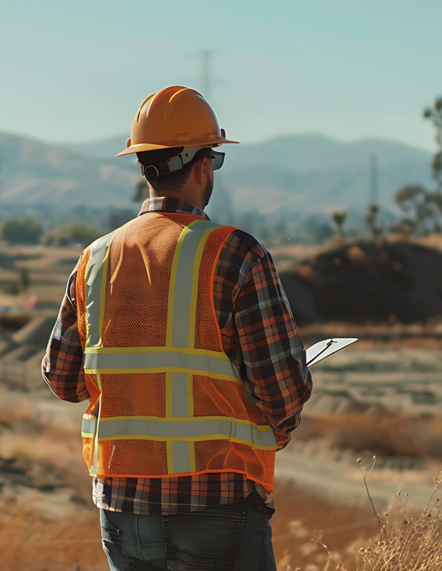
The Ultimate Breakdown Of Underground Surveying Costs In Manitoba

Every construction project starts from the ground up, but what’s beneath the surface matters as much as what’s above. In Manitoba, infrastructure, industrial development, and renewal projects are transforming the landscape, and underground surveying has become essential to safe and cost-effective construction. Regardless of the type of construction project, a missed underground line or unmapped […]
3 Unique Advantages Of Surveying For Road Construction
It’s easy to become frustrated while driving on a poorly constructed road. Potholes, dirt roads, or just badly designed routes can be detrimental to your vehicle and generally unsafe. A safe and durable road starts to take its shape long before the asphalt is poured. It starts with precise surveying—the process of mapping the terrain, […]
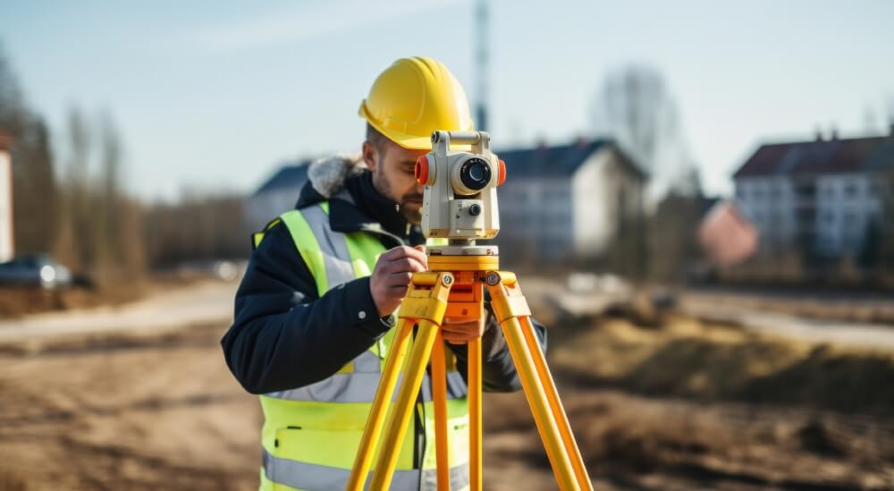
Why Are Land Surveys So Important? A Deep Dive With Meridian Surveys
The foundation of any development, whether it’s a new home, office building, or oil refinery, starts with precise land surveying. Land surveying services from companies like Meridian Surveys are vital in ensuring property boundaries, zoning regulations, and legal requirements are all met before construction begins. For almost 60 years, Meridian Surveys has been a trusted […]
How To Prepare For A Pipeline Environmental Impact Assessment
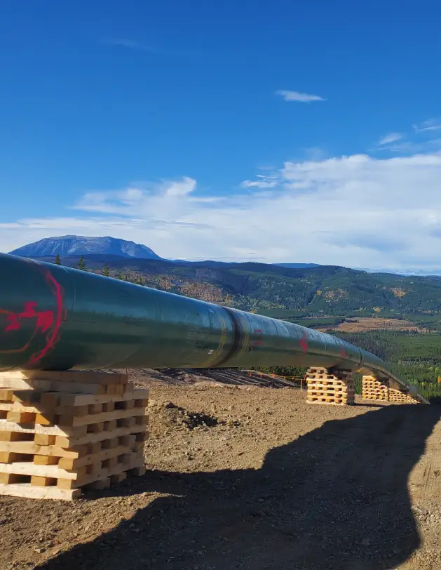
Before any construction begins on a pipeline, an Environmental Impact Assessment (EIA) is crucial. This mandatory process ensures compliance with regulations and protects the environment by identifying and preserving sensitive ecosystems, water bodies, and wildlife habitats. A successful EIA relies on accurate initial pipeline surveying, which forms its foundation. Meridian Surveys utilizes proven surveying techniques […]
Meridian’s Ultimate Guide To GIS Mapping For Beginners
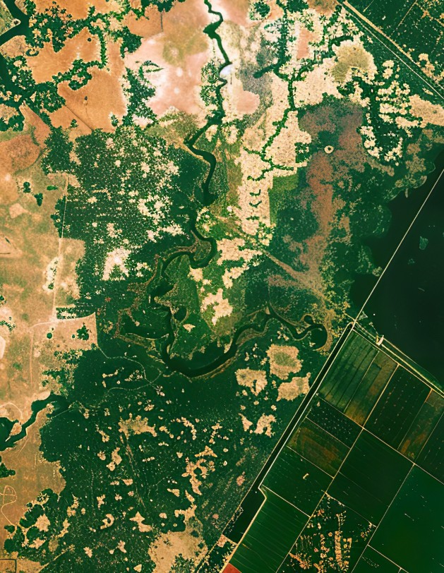
From pipelines to subdivisions and everything in between, GIS mapping turns raw data into actionable decisions. But what exactly is GIS? Geographic Information Systems (GIS) is a modern technology that captures, stores, analyzes, and visualizes spatial data, enabling surveyors, developers, and planners to make informed decisions. Meridian Surveys has decades of experience in GIS and […]
3 Unique Advantages Of Surveying For Road Construction

The foundation of any development, whether it’s a new home, office building, or oil refinery, starts with precise land surveying. Land surveying services from companies like Meridian Surveys are vital in ensuring property boundaries, zoning regulations, and legal requirements are all met before construction begins. For almost 60 years, Meridian Surveys has been a trusted […]
Unexpected Challenges In Drone Surveying And Ways To Overcome Them

The advances in technology over the years have greatly improved the ways we manage and gather data. LiDAR and photogrammetry provide high-resolution imagery and precise elevation models, ensuring a fast turnaround and safer data capture for surveyors. UAV drone surveying can safely map large and complex sites in a fraction of the time it takes […]
How To Mark Points For Piles: Construction Surveying Stakeouts

You’ve finally come to the point of breaking ground. After months, maybe even years of planning, designing and preparation for your new construction project. There’s just one more crucial step to ensure everything is in place. Marking pile locations accurately is critical to a safe and efficient construction project. You have to start somewhere, and […]
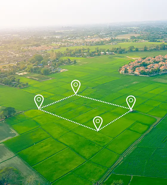
Subdivision Surveys Insider: The Cost of Subdivision in Alberta
Imagine you’re about to cut into a cake, and everyone wants a piece. You have to slice it evenly, making sure everyone gets a fair share. Land subdivision works much the same way, just with higher stakes (and fewer candles). A larger property is divided into smaller, legally recognized lots or parcels. Each one must […]
Everything You Need To Know About Line Locating in Alberta and Saskatchewan
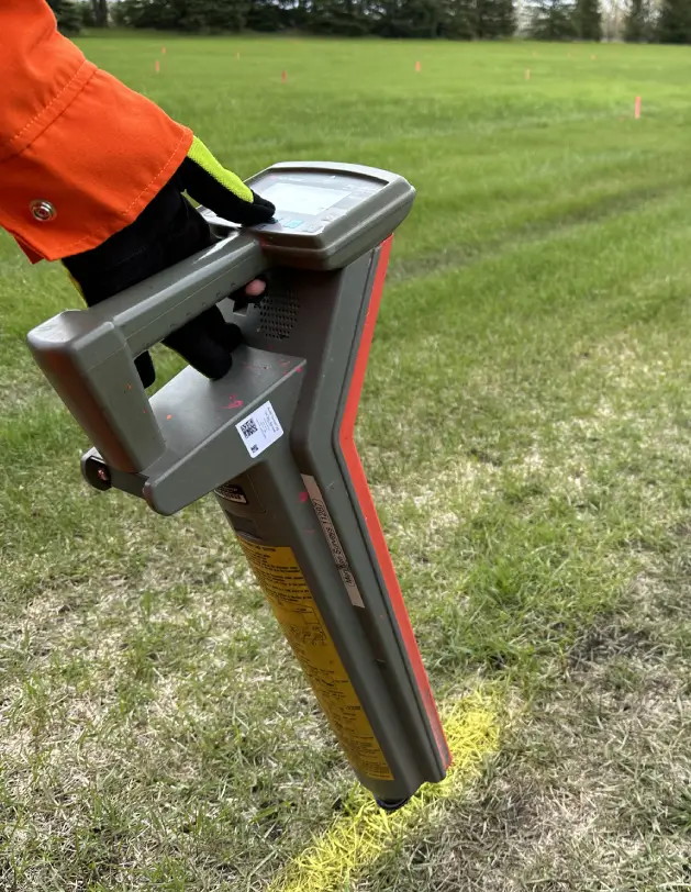
If you’re planning a project that’s about to break ground, you have to start with what’s underground. Before you dig, build, or drive a single stake, it’s essential to know what lies beneath the surface. This crucial step, line locating, helps identify buried utilities, including gas, power, water, and telecommunication lines. Whether you’re a homeowner […]