Unexpected Challenges In Drone Surveying And Ways To Overcome Them
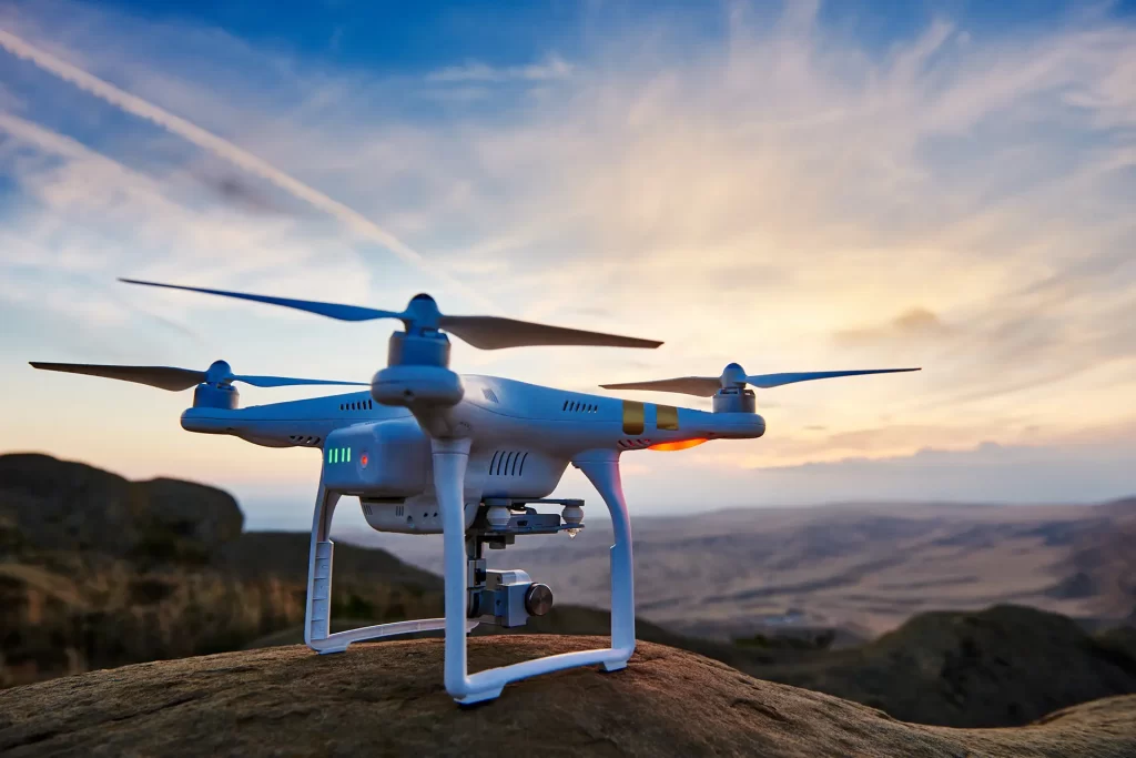
The advances in technology over the years have greatly improved the ways we manage and gather data. LiDAR and photogrammetry provide high-resolution imagery and precise elevation models, ensuring a fast turnaround and safer data capture for surveyors. UAV drone surveying can safely map large and complex sites in a fraction of the time it takes […]