The Practical Advantages Of Meridian’s Drone Surveys
Drone surveys have become an increasingly practical tool for land surveyors, especially for large or complex projects. Time, safety, and clear data are high priorities for these projects; rather than replacing traditional survey methods, drone surveys enhance them. Unmanned aerial vehicles (UAVs), commonly called drones, provide accurate, high-quality data while reducing safety risks and project delays. […]
Unexpected Challenges In Drone Surveying And Ways To Overcome Them

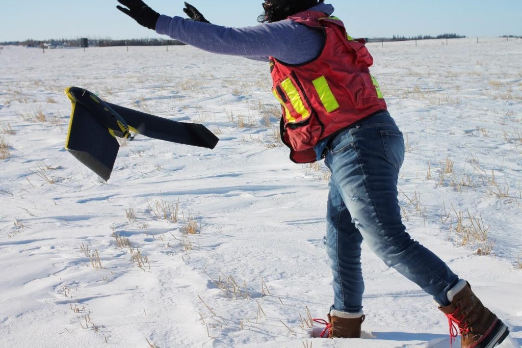
The advances in technology over the years have greatly improved the ways we manage and gather data. LiDAR and photogrammetry provide high-resolution imagery and precise elevation models, ensuring a fast turnaround and safer data capture for surveyors. UAV drone surveying can safely map large and complex sites in a fraction of the time it takes […]
Pipeline Surveying In Action: How Meridian Delivered CLX4 Results
Installing hundreds of kilometres of pipeline through wetlands, steep coulees, and established right-of-ways requires precisely mapping of every stake, easement, and crossing. Meridian Surveys has taken part in pipeline surveying throughout Manitoba, Saskatchewan, Alberta, and British Columbia. The process is extensive, and the deadlines are tight. You can’t afford surprises along the way. Pipeline surveying is the […]
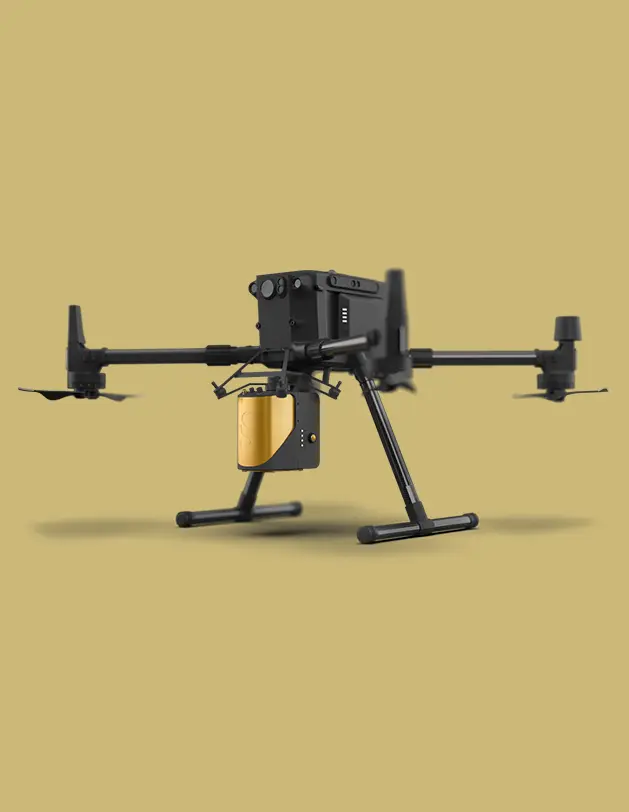
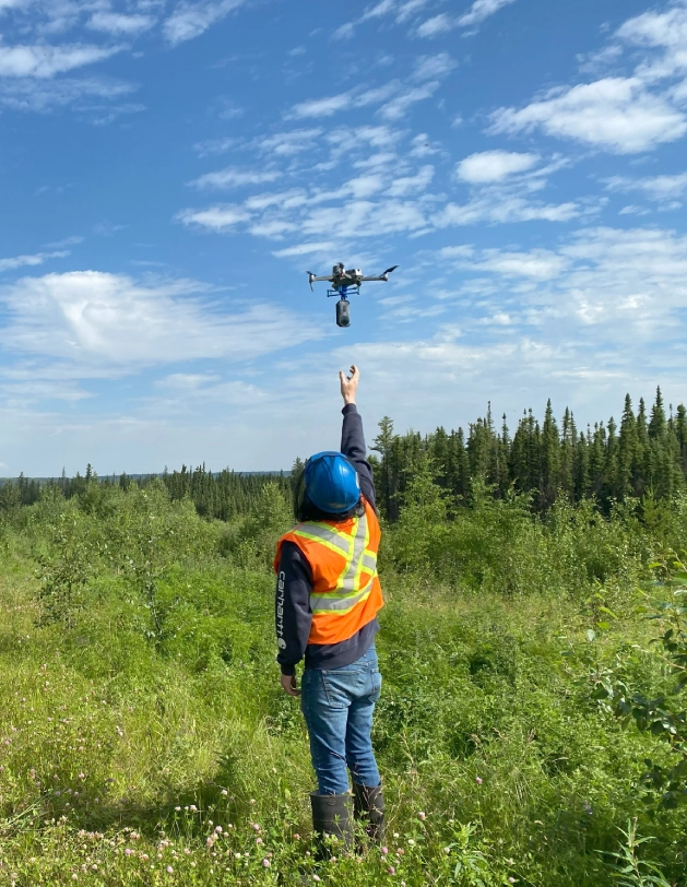
Reaching New Heights: The Power of UAV Drone Mapping
Aerial photography has been essential to land surveying for decades. It plays a vital role in engineering development and environmental management. Only 15 years ago, capturing aerial data required planes and many costly components for a single photoset. Today, drone surveying has completely transformed photogrammetry. UAVs (unmanned aerial vehicles) make detailed, large-area surveys fast, safe, and more […]
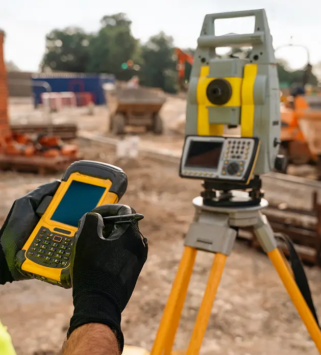
The Ultimate Guide to UAV vs. Traditional Surveying Methods

The construction and infrastructure industries are constantly expanding in Western Canada, with new residential, commercial, and industrial projects being developed every day. With this rapid pace, project planners and developers are on the lookout for the most effective survey methods to elevate their project timelines and success rate— and one obvious front-runner is drone surveying. Let’s explore […]
Surprising Ways Digital Mapping Can Transform Your Construction Surveying
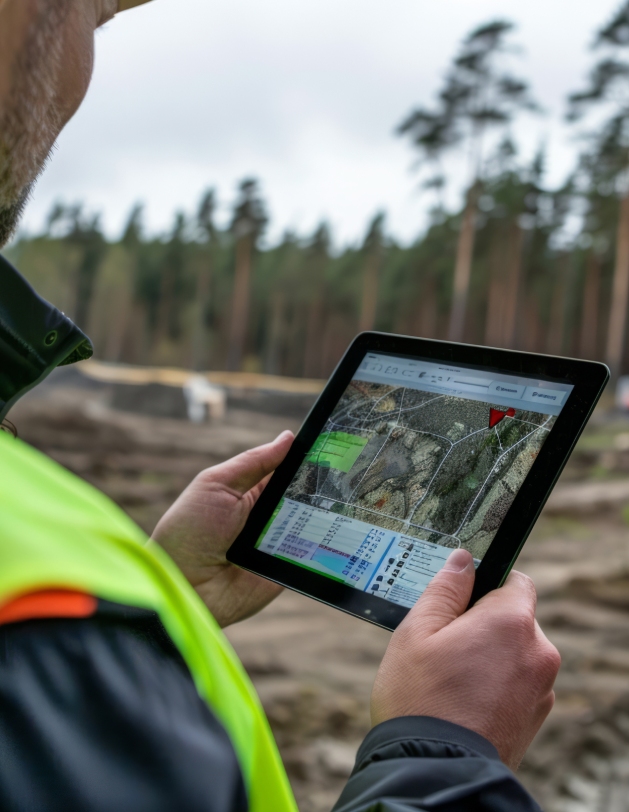
For real estate developers, construction surveying is a non-negotiable step in project planning and completion. It provides the critical foundation of accurate measurements and data needed for all future decisions in the development process. However, your project is only as good as your survey and corresponding data— which is why you should trust Meridian Surveys for your construction […]
The Ultimate Guide to Canadian Drone Surveying Regulations and Privacy

Drone technology has revolutionized the field of land surveying, offering unparalleled accuracy, efficiency, and accessibility. As this technology continues to evolve, so do the regulatory and legal requirements associated with its use. For organizations utilizing drones for surveying in Canada, staying compliant can be complicated. This is why partnering with an experienced company like Meridian Surveys, […]
What You Should Know Before Contacting Land Surveyors
When you’re embarking on a new land project, whether it’s developing real estate, expanding infrastructure, planning a pipeline, or even just moving your residential fence line, understanding the type of land survey you need is crucial. Land surveyors like Meridian Surveys often offer various survey types for residential and commercial clients, each tailored to specific needs and […]
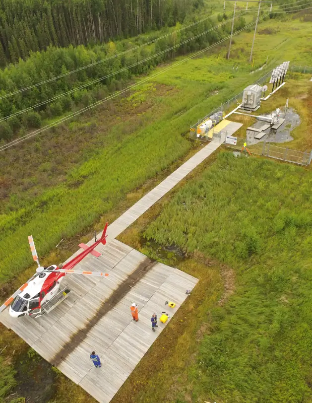
Challenges and Solutions in Oil Field Aerial Mapping for Pipeline Maintenance
Canada’s ever-expanding oil and gas industry is vital to the nation’s economy and growth but presents unique challenges and considerations as well. Maintaining the pipelines that transport oil and gas across the country is a crucial task, fraught with the potential for failure or damage, and aerial mapping has become a crucial tool in servicing […]
The Innovative Technologies Shaping the Future of Pipeline Surveys

The landscape of pipeline surveying is undergoing a significant transformation driven by innovative and emerging technologies. As the demand for more efficient, accurate, and environmentally conscious surveying methods grows, the industry continues to rapidly move away from traditional techniques and into a new era of sustainable, safe pipeline surveying. This shift is not only enhancing […]