Reaching New Heights: The Power of UAV Drone Mapping
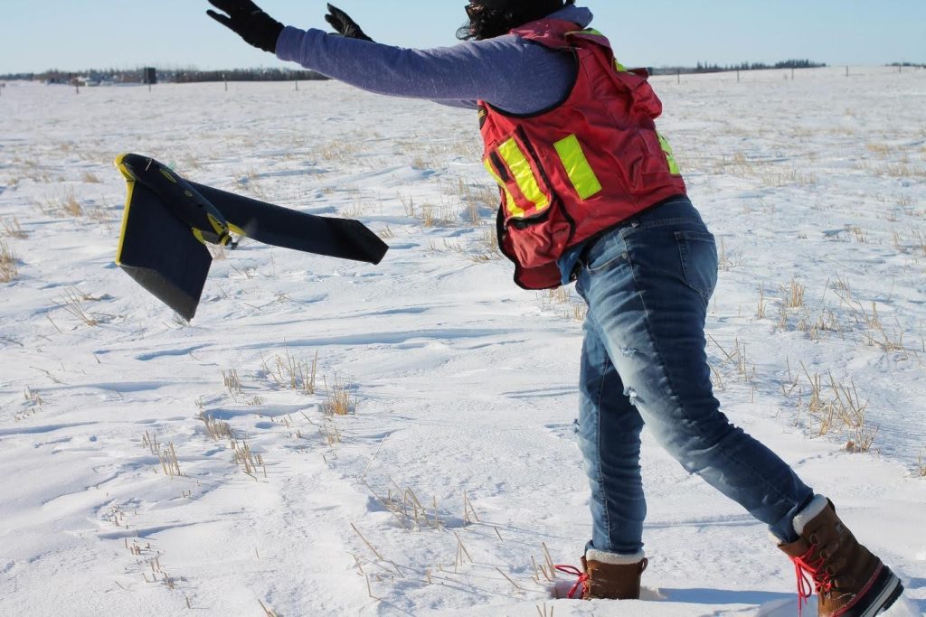
Aerial photography has been essential to land surveying for decades. It plays a vital role in engineering development and environmental management. Only 15 years ago, capturing aerial data required planes and many costly components for a single photoset. Today, drone surveying has completely transformed photogrammetry. UAVs (unmanned aerial vehicles) make detailed, large-area surveys fast, safe, and more […]
The Advantages of Meridian Drone Surveying
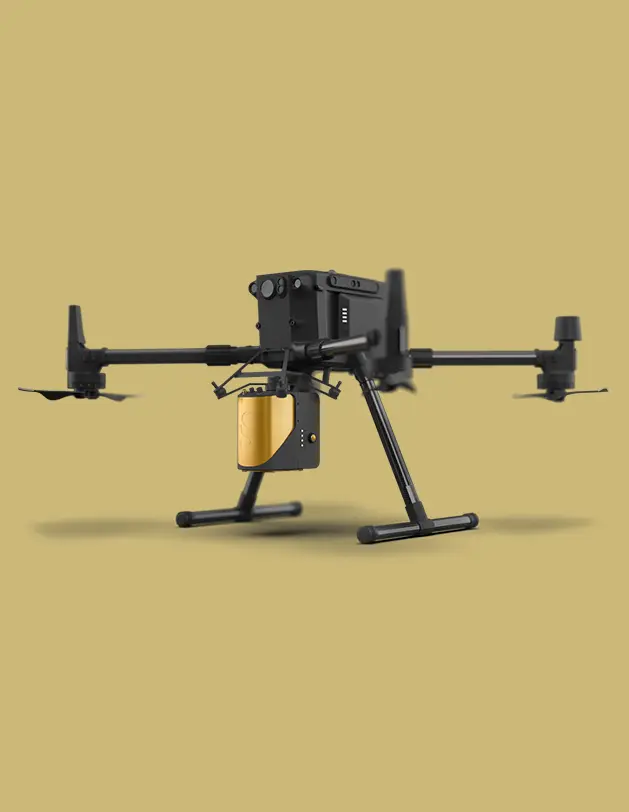
Drone surveying has revolutionized the field of land surveying, offering numerous advantages over traditional methods. Especially for projects that are in otherwise inaccessible or dangerous areas, drone surveying is a safe and speedy alternative to a ground surveying team. At Meridian Surveys, we leverage cutting-edge drone technology to provide our clients with highly accurate, efficient, […]