Pipeline Surveying In Action: How Meridian Delivered CLX4 Results
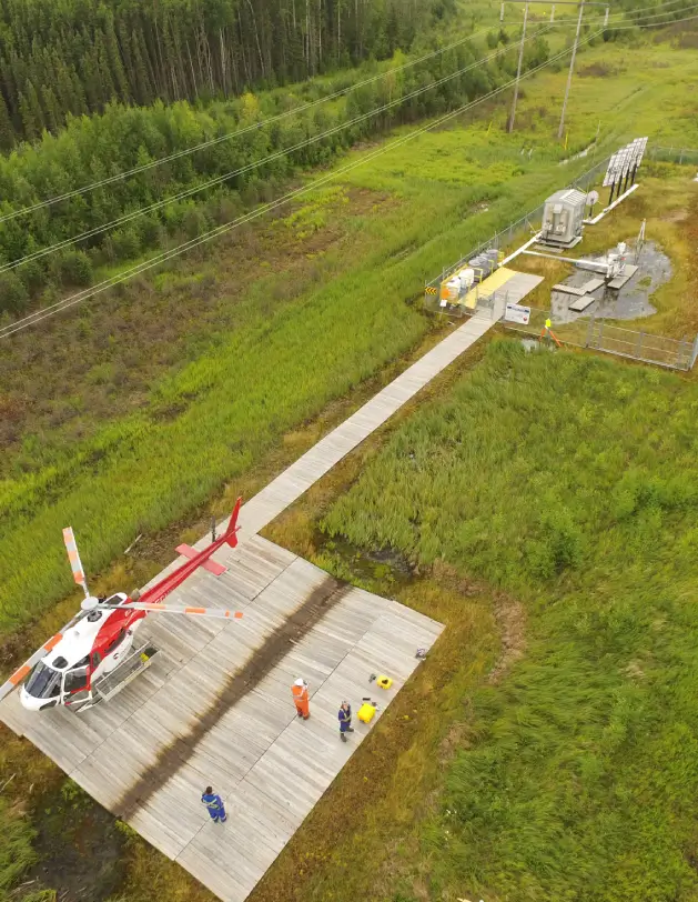
Installing hundreds of kilometres of pipeline through wetlands, steep coulees, and established right-of-ways requires precisely mapping of every stake, easement, and crossing. Meridian Surveys has taken part in pipeline surveying throughout Manitoba, Saskatchewan, Alberta, and British Columbia. The process is extensive, and the deadlines are tight. You can’t afford surprises along the way. Pipeline surveying is the […]
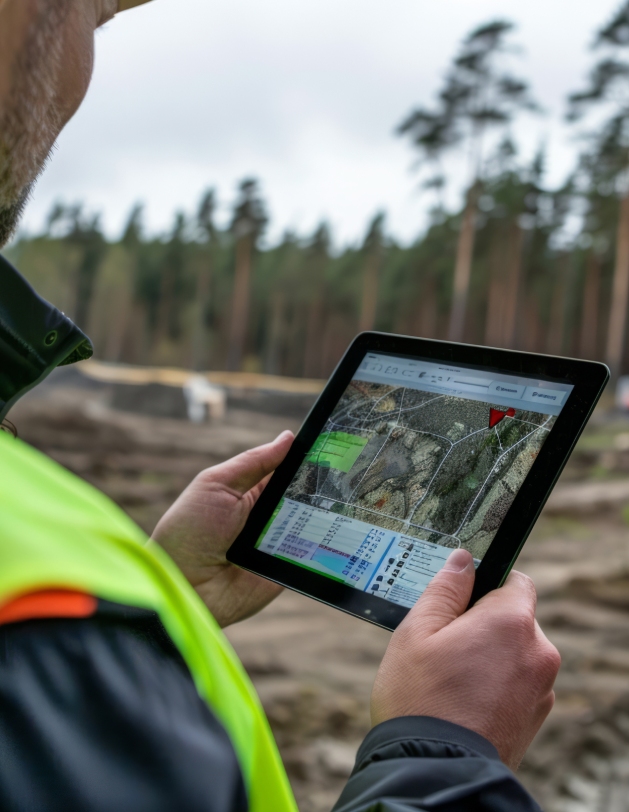
Why New Land Developers Choose Local Surveyors Who Know The Area
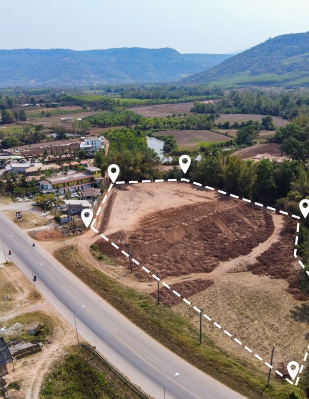
A successful construction project starts from the ground up, and no one knows that better than a professional local surveyor. Construction site conditions can quickly take a turn and throw off approved plans. Surveyors who come prepared with the insights you need will help to avoid costly surprises, mistakes, and permit delays. When you need construction […]
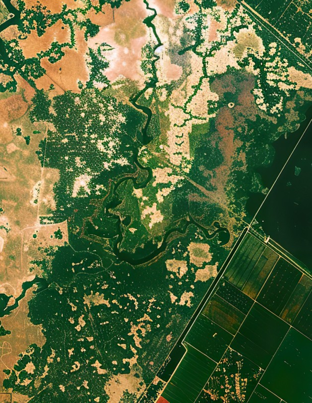
Reaching New Heights: The Power of UAV Drone Mapping

Aerial photography has been essential to land surveying for decades. It plays a vital role in engineering development and environmental management. Only 15 years ago, capturing aerial data required planes and many costly components for a single photoset. Today, drone surveying has completely transformed photogrammetry. UAVs (unmanned aerial vehicles) make detailed, large-area surveys fast, safe, and more […]
Don’t Dig Blind: The Real Value of Underground Surveying
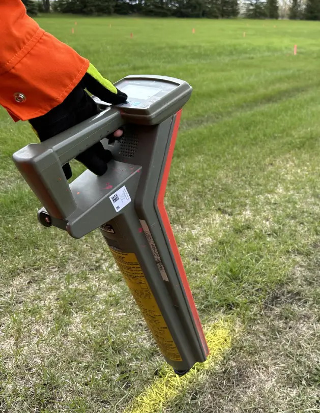
Underground surveying is more than paint marking on the ground. When people try to cut corners by digging blindly, they suffer the consequences. An estimated $1 billion in damages to underground utilities is reported annually. Costly damage to hidden pipes and cables is avoidable if you are proactive before you dig. Underground surveying is the overall process […]
Edmonton Line Locating: How To Avoid Costly Repairs This Year
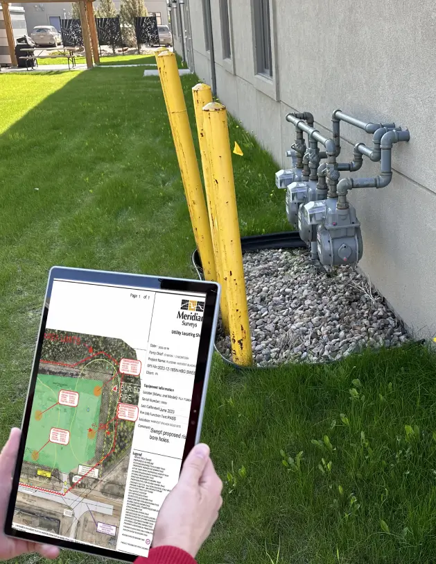
A professional underground utility survey is a must when preparing for a digging or excavation project in Edmonton. It helps identify buried infrastructure lines like gas mains, water pipes, and electrical cables. However, did you know that even after commissioning a line locating survey, you could still put your underground utility lines at risk? Unfortunately, it […]
How GIS Mapping Tech Helps Unlock Civil Ordinance Insights
In recent years, a significant challenge for cities and municipalities has been transitioning from paper records to digital formats. Decades’ worth of municipal records, property maps, and land surveys often existed solely in physical form, making access and updates difficult. Digitizing this information is no small task for organizations, requiring precision, methodology, and expertise in Geographic […]
Surprising Ways Digital Mapping Can Transform Your Construction Surveying
For real estate developers, construction surveying is a non-negotiable step in project planning and completion. It provides the critical foundation of accurate measurements and data needed for all future decisions in the development process. However, your project is only as good as your survey and corresponding data— which is why you should trust Meridian Surveys for your construction […]
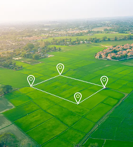
Subdivision Surveys 101: What You Need to Know Before You Start

When you’re planning a subdivision project, one of the first project milestones should be conducting a subdivision survey. This critical step defines property boundaries, ensures legal compliance, and sets the stage for your development. While an experienced surveyor like Meridian Surveys brings the expertise and tools to make the process seamless, a little preparation on the client end […]
The Proven Ways Legal Surveys Are Essential for Land Development
Land development is booming in Western Canada, with increasing demand for residential, commercial, and industrial spaces. Legal surveys are at the heart of these projects, whether you’re working on a sprawling new subdivision, installing vital civic infrastructure, or staking mineral claims on Crown land. So, what exactly is a legal survey, how do they differ in […]
Comparing GIS and Traditional Mapping Methods: Which is Right for Your Project?
When planning a new project that requires land surveying, one of the key decisions you’ll have to make is choosing between Geographic Information Systems (GIS) and traditional surveying methods. Both have their merits, but understanding the differences between the tried and true methods versus their modern counterparts can help you make the best choice for […]