How GIS Mapping Tech Helps Unlock Civil Ordinance Insights
In recent years, a significant challenge for cities and municipalities has been transitioning from paper records to digital formats. Decades’ worth of municipal records, property maps, and land surveys often existed solely in physical form, making access and updates difficult. Digitizing this information is no small task for organizations, requiring precision, methodology, and expertise in Geographic […]
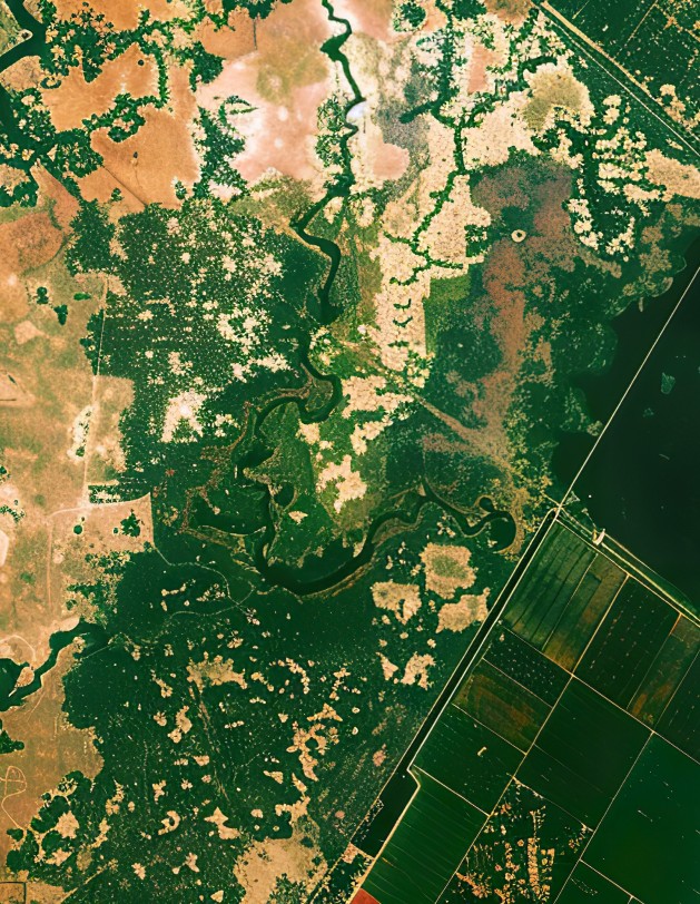
Ways GIS Mapping Is Proven to Help Environmental Conservation
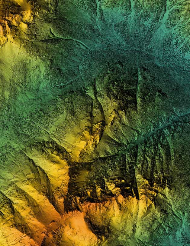
While the benefits of GIS (Geographic Information Systems) mapping services are well-known in industries like residential and commercial surveying, their role in environmental conservation efforts is often overlooked. GIS technology helps conservation and wildlife management professionals better understand landscapes, track resources, and make informed decisions. When it comes to environmental conservation, GIS mapping offers essential tools for […]