Reaching New Heights: The Power of UAV Drone Mapping
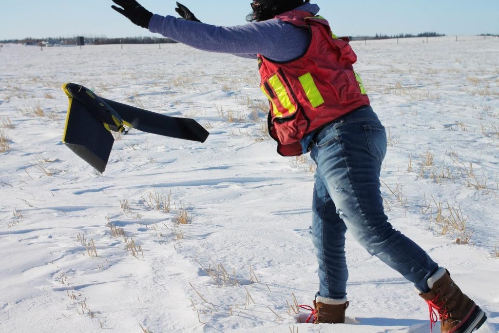
Aerial photography has been essential to land surveying for decades. It plays a vital role in engineering development and environmental management. Only 15 years ago, capturing aerial data required planes and many costly components for a single photoset. Today, drone surveying has completely transformed photogrammetry. UAVs (unmanned aerial vehicles) make detailed, large-area surveys fast, safe, and more […]