Meridian Surveys has been at the forefront of Unmanned Aerial Vehicle (UAV) technology since early 2014. Adhering strictly to Transport Canada’s regulations and industry standards, we maintain a fleet of UAVs operated by fully trained professionals across all our locations. Whether you’re exploring the suitability of UAV technology for your project or seeking to leverage its capabilities to enhance project outcomes, contact us today to discover how our expertise can benefit your operations.
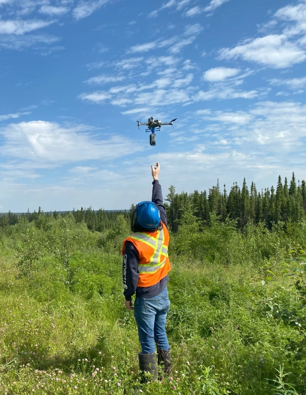
UAV/Drone Surveys
Why UAV Surveys Matter
Speed is King What may take a survey crew days, can be done in just hours with the a UAV.
Quality Matters Capturing hundreds of images to create millions of points in a 3D point cloud – the resulting highly detailed photo-mosaic and digital elevation models greatly improve the decision making process.
Safety First An unmanned vehicle in the air keeps people out of potentially harmful environments.
How We Help
Lorem ipsum dolor sit amet, consectetur adipiscing elit. Donec vehicula porttitor felis sollicitudin porta. Suspendisse ut tincidunt est. Curabitur maximus porttitor risus, et tincidunt magna sollicitudin sed. Vivamus tempor eros erat, in semper eros molestie at. Sed non metus varius, dapibus dui non, vulputate quam. Sed convallis faucibus dui in semper. Nullam pretium, metus eget tincidunt posuere, nulla quam aliquam libero, et consequat lectus dui sed sapien. Vivamus venenatis felis in turpis ultrices rhoncus. Duis tincidunt nunc ut dui maximus, ac facilisis diam malesuada. Pellentesque eleifend tortor in aliquet pretium.Integer at ipsum luctus, mattis augue.
Agriculture – birds-eye view of crops, grain stockpile volumes, monitor for disease and survey the accuracy of irrigation systems
Disaster Management – assess the scope, assist with planning and decision making
Surveying – topographical surveys with unrivalled speed and accuracy.
Bio-Security – lessened need for personnel and equipment on the ground in order to mitigate the transfer of unwanted invasive species, genotypes and spores.
Gravel Pits
Gravel pits – stockpile volumes
Road – design and construction
Landfill surveys
Mining – aerial photos, up to date orthophoto maps, locating drill holes, streams, stockpile volumes
Pipeline – surveying, construction, monitoring
How We Help
Gravel pits – stockpile volumes
Road – design and construction
Landfill surveys
Mining – aerial photos, up to date orthophoto maps, locating drill holes, streams, stockpile volumes
Agriculture – birds-eye view of crops, grain stockpile volumes, monitor for disease and survey the accuracy of irrigation systems
Disaster Management – assess the scope, assist with planning and decision making
Surveying – topographical surveys with unrivalled speed and accuracy.
Bio-Security – lessened need for personnel and equipment on the ground in order to mitigate the transfer of unwanted invasive species, genotypes and spores.