Oil & Gas Surveys

Oil & Gas Surveys
Precision Mapping Solutions for the Oil and Gas Industry

Oil & Gas Surveys
From Well Center Identification to Real-Time Digital Mapping
How We Help
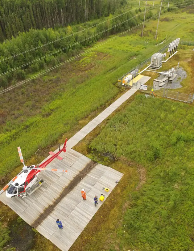
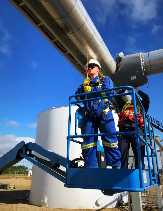
With our team of experienced professionals and cutting-edge technology, we guarantee pinpoint accuracy from well center identification to final mapping. Our comprehensive suite of services, including geodetic control using GPS, aerial photography, environmental support, and GIS consultation, ensures that every aspect of your project is meticulously addressed. We prioritize collaboration and communication, working closely with operators, land agents, and landowners to ensure optimal site selection and project success. With office strategically located across Alberta, Saskatchewan, and Manitoba, we are uniquely positioned to serve the needs of the oil and gas industry, providing timely and efficient support for field operations and project development. When you choose Meridian Surveys, you choose expertise, integrity, and a commitment to delivering exceptional results for your oil and gas projects.
Services
- Geodetic Control Using Gps
- Pre-engineering Surveys
- Aerial Photography
- Environmental and Archaeological Support
- Cadastral Surveys
- Satellite Imagery
- GIS and Facility Management Consultation/Implementation
- Image Ortho-Rectification and Mosaics
- Land Acquisition Support
- Line Locating