Comprehensive Legal Surveys
Comprehensive Legal Surveys
Subdivision Surveys
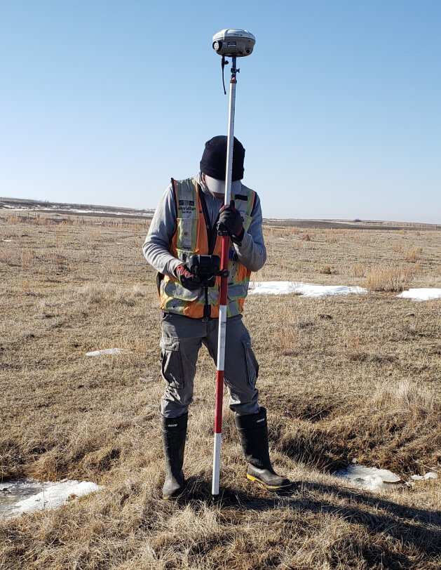
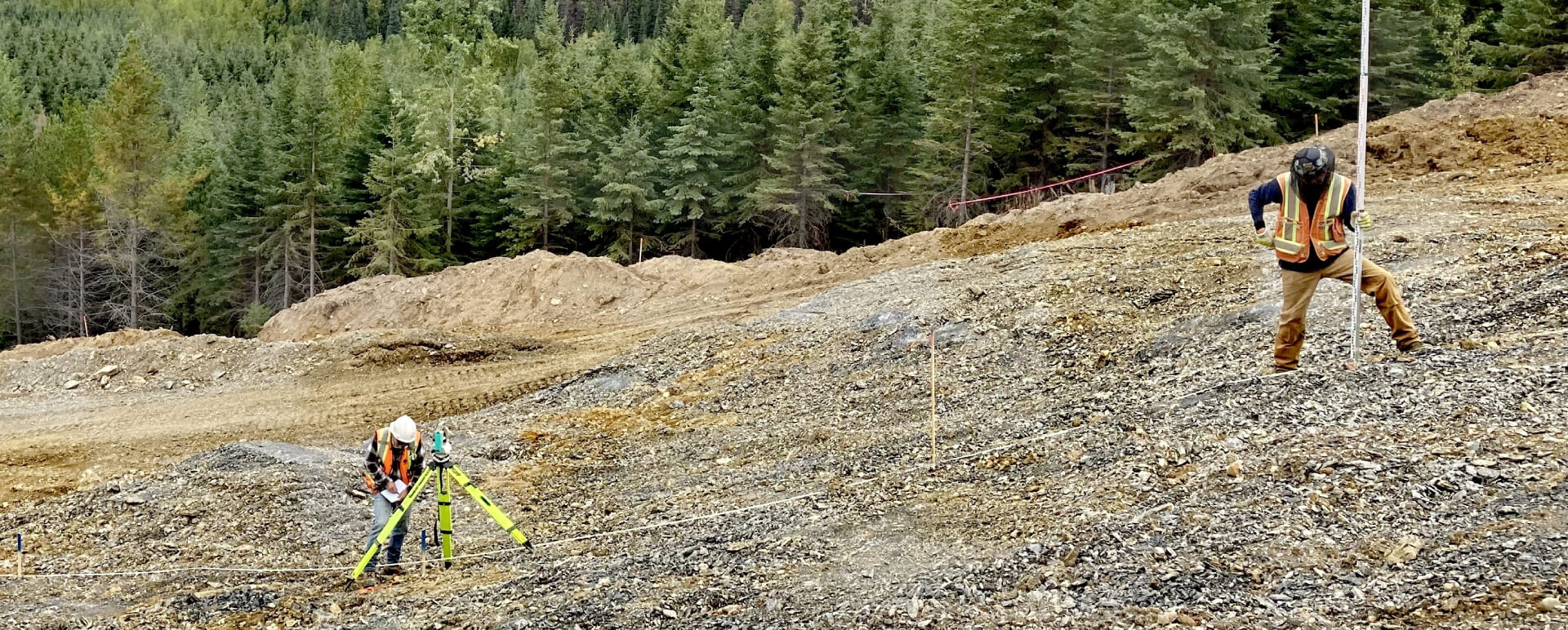
Mining & Exploration
Meridian Surveys will work with you on the groundwork for mine infrastructure and mapping for mine operations. With unmatched experience in Northern Canada, we are who you need.
Services:

Services:
- Geodetic control
- Baseline control
- Photo control
- Precise levels
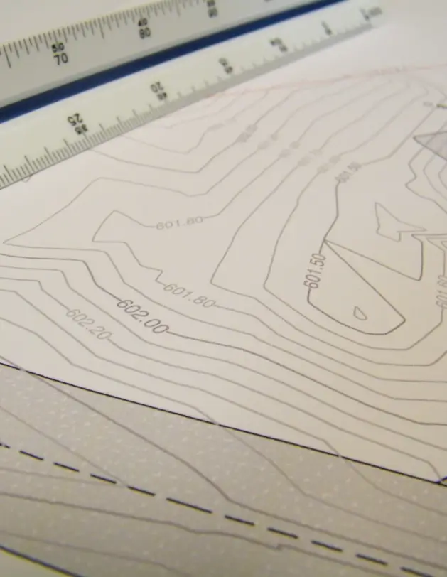
- Topographic surveys
- Drill hole layout and as-built
- Site and facilities layout and as-builts
- Stockpile surveys and quantity calculations
- LIDAR control & data conversion
- Boundary line surveys
- Project management